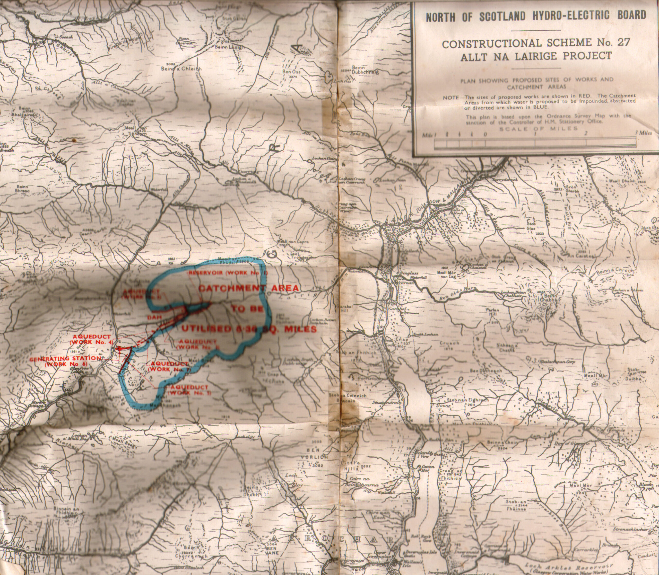
Allt Na Lairige Forestry Planting Map
Physical Description: Colour Copy
Subject: Alt na Lairige, Forestry Planting, Map, Catchment Area
Allt Na Lairige Forestry Planting Map
Physical Description: Colour Copy
Subject: Alt na Lairige, Forestry Planting, Map, Catchment Area